Sh!t just got real!
Final race manual for the EPONA 100 has been issued, the GPX for the EPONA 100 route has been finalised, so it’s time to change into the brown pants! Nah, as excited as I am anxious to be honest. Used to be like this when I first started ultra-distance events – but then you get better and anxiety turns to excitement and excitement turns into enjoyment.
Not knowing whether or not I’d be with a group or on my own, I’ve studied the route, familiarised myself with landmarks etc so that it’s one less thing to worry about on the day / night / weekend!
The EPONA 100 Route
I wouldn’t normally go into this much detail for ‘smaller’ events (for example, 50 miles or less) but this one needed that extra attention to detail. I obviously have a map, the GPX on my Coros Apex 2 – but it’s just peace of mind that I am doubly aware in case anything goes awry. I’ll know what to see at which points, know what the cut offs are – I found it easier to visualise this so created the graphic with the elevation chart. There’s lots to think about so I’m trying to do that now so there’s no margin for error on the day. I’ll have a print-out of this but I thought it would be cool to turn it into a blog so I can save and refer back to and it might be useful to fellow participants.
I’ve recce’d some sections but not all, so I know what to expect but also leave a bit for me to worry about on the day, instead of knowing exactly what’s ahead and sh*tting myself for weeks before right up to the event!

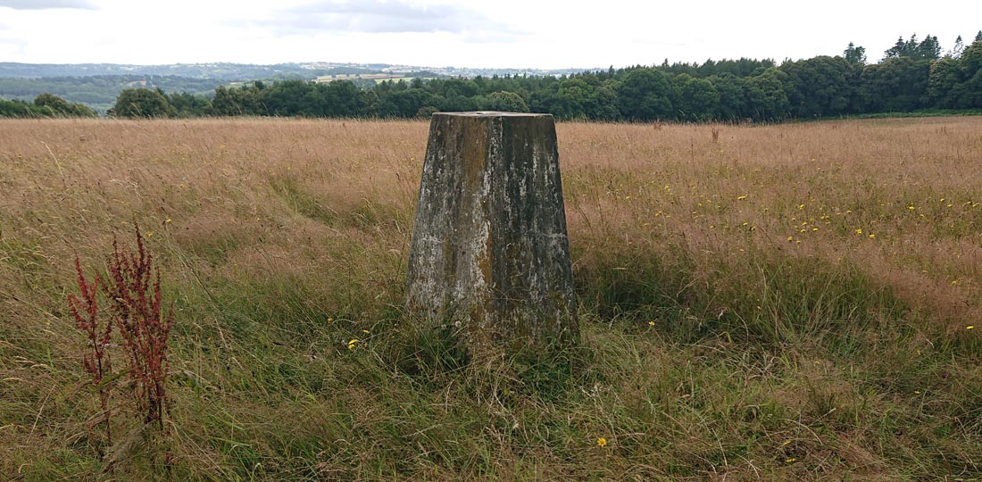
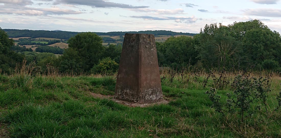
I also created a version of the map showing which of the routes I’ll be on – again as a double checker / peace of mind. Also added the trig points on it too so I can document them on my blog too.
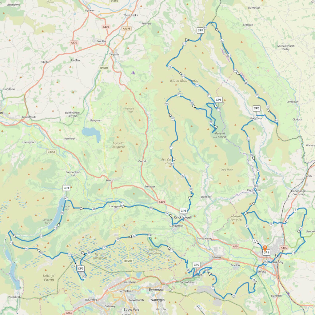
Without further ado, here’s my shopping list of directions for the EPONA 100 route:
Start on Cambrian Way, continue for just over 3 miles
Take a right OFF Cambrian Way onto unnamed path
Just after 5 miles, turn left get on the Old Hereford Road
Turn right off the Old Hereford Road after a short distance
Just after 6 miles, turn left follow road
Just over 7.5 miles in, take a right onto Beacon’s Way
Follow Beacon’s Way back into Abergavenny to CP1 (13 miles)
Get onto Cambrian Way
Just after 15 miles, go straight on (not right) then rejoin Cambrian Way – extra loop
Around Mile 17 – Blorenge Trig Point
Just after 18 miles, leave Cambrian Way right on unnamed path
CP2 mile 24 – back on unnamed path for a mile
Get on Cymro Road (The Hafod) then left at about 25.75 miles
Back on unnamed path then 27.75 miles – back on Cambrian Way
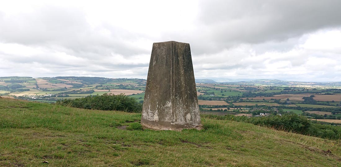
Just before mile 32 – Mynydd Llangynid trig point
Just after mile 33, do NOT follow Cambrian way, take a left onto unnamed path
CP3 – mile 35
Get back on Cambrian Way just before Mile 37
Just after mile 39, momentarily come off Cambrian Way then get back on
Just before mile 41 – Pant-Y-Creigiau trig point
At 41.75 miles, come off Cambrian Way onto the Taff Trail / Beacons Way
At 44.5 miles, go left to follow Taff Trail
CP4 – mile 47
Continue to 49 miles, rejoin Beacons Way
At the canal bridge (49.75 miles) Beacons Way is also the Usk Valley Walk
At about 51.75 miles, Usk Valley Walk turns into Monmouthshire & Brecon Canal Walk
Follow until 54.5 miles and rejoin Cambrian Way
CP5 Crickenhowell – Mile 56 & Sleep Station
Continue on Cambrian Way
Before Mile 65, take a right onto unnamed path
Continue to the ‘Black Mountains Fell Race’ route just after mile 66
Mile 59 – Pen Cerig Calch trig point
Mile 60.5 – Pen Alt Mawr trig point
Just after miles 69, leave the ‘Black Mountains Fell Race’ route onto unnamed path
CP6 – mile 72
Continue on unnamed path to rejoin Cambrian Way at mile 76.25
Mile 76.75 – Rhos Dirion trig point
Just after mile 78 – Pen-Y-Beacon trig point
At about 78.25 miles, leave the Cambrian Way (left) onto unnamed path
CP7 – mile 79
Continue on unnamed path to Hay Bluff
Join Offa’s Dyke path at 80.75 miles
Follow Offa’s Dyke Path to just after mile 88 to join Beacons Way (right)
Follow Beacon’s Way to Llanthony
CP8 – mile 90
Follow Beacons Way to just over 91 miles
Join Cambrian Way (left)
Follow Cambrian way to Sugar Loaf summit
Left at the summit to finish!
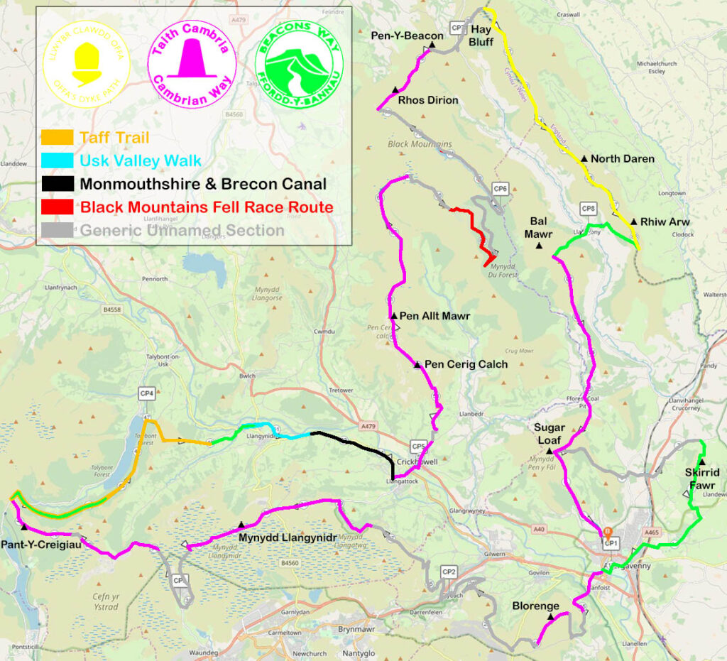
Excuse the garish colours, I needed to be able to differentiate the EPONA 100 route and sections along it!


Izzy Watts
Thanks for this Dale .. perfect thank you ☺️
Herefordshire Trig Bagger
Hey Izzy! Glad you found it useful! My mountain maths is usually way out at the best of times – at least if it’s written down I can’t go wrong – bit of added pressure with the cut-offs (although generous) – I didn’t wanna be caught out or panicking in the hills! Catch you soon!