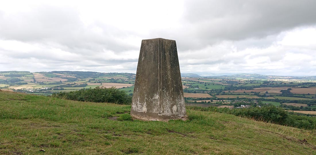
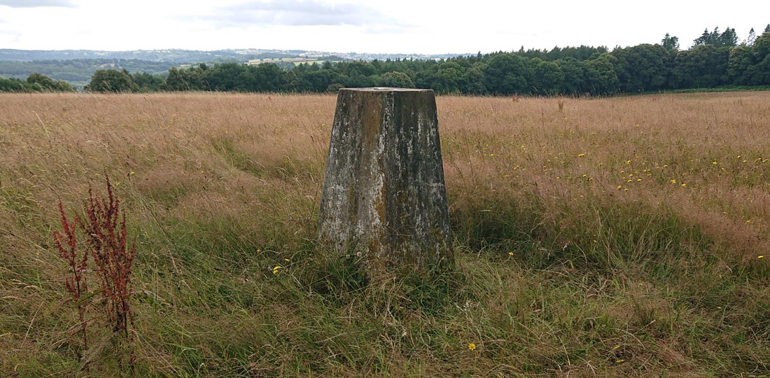
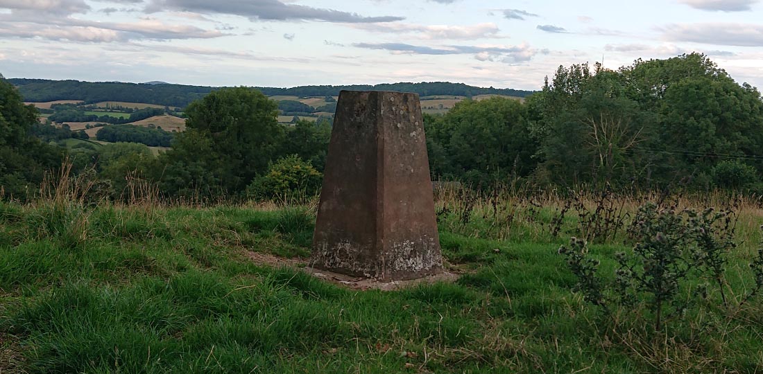
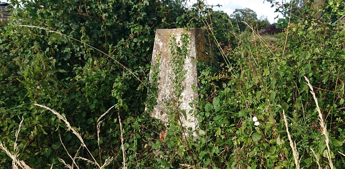
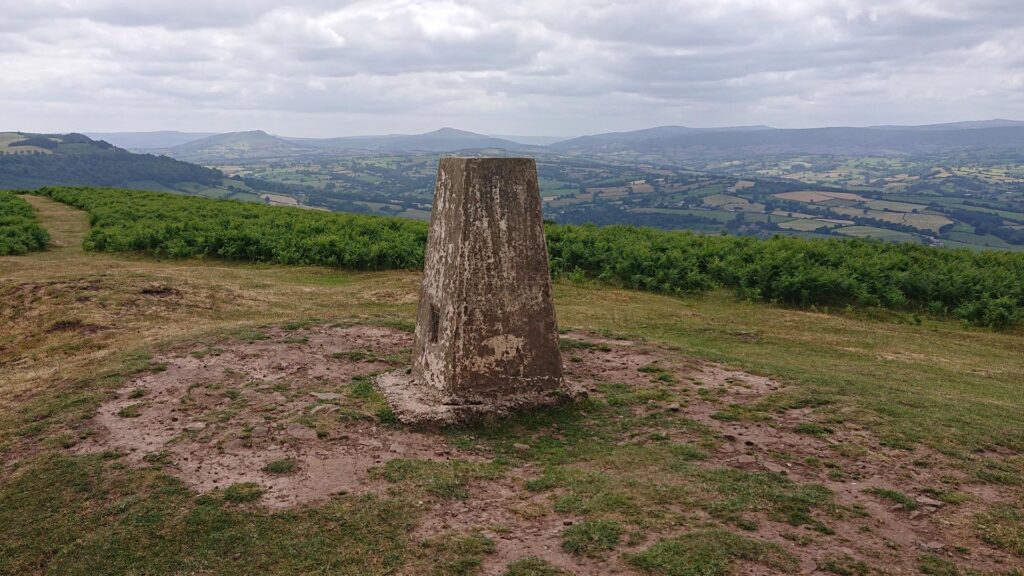
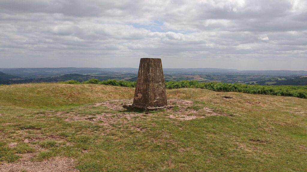
The Garway Hill trig point is a pretty spectacular one! The only downside to it is the 5 miles after turning of the A465. Horrible narrow lanes with the odd passing point dotted about. Those will be the longest 5 miles you’ll ever drive! Good luck if you encounter farming machinery on the route!
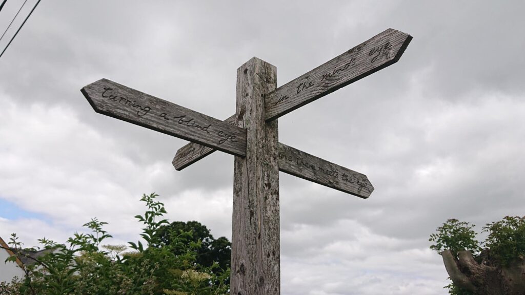
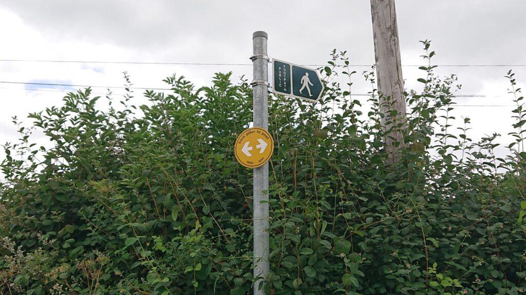
I reached the turning that leads up to the Garway Hill ‘car park’. Why the inverted commas? Well, parking is a loose description! It’s a horrible narrow (very narrow!) trail which widens at the top so you can turn around and tuck into the side of the lane. That’s about as much of a ‘car park’ it is!
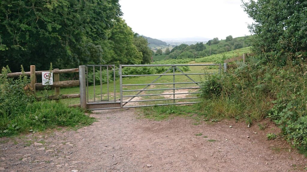
My car is NOT designed for that trail. Not one bit. Handily, there was a bit of a pull-in opposite the junction. I tucked in there – good luck if you fancy tackling that lane (you’ll see what I mean if you go there!). If you encounter a vehicle leaving or arriving – one of you is reversing either to the junction or the turning point! I did not fancy that – it’s pretty steep and very, very uneven.
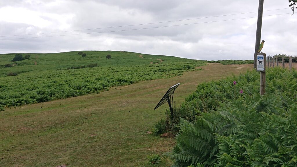
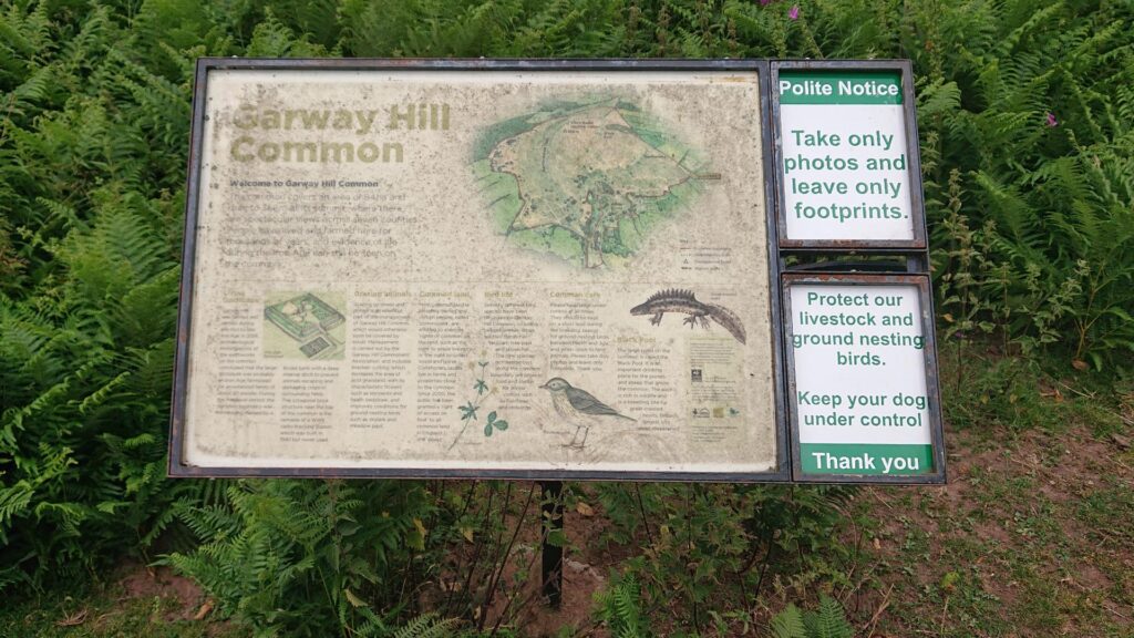
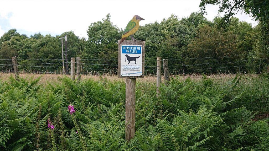
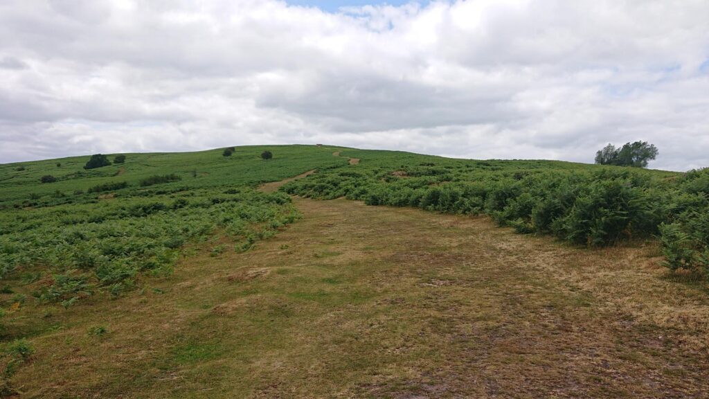
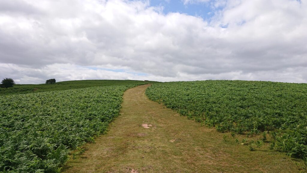
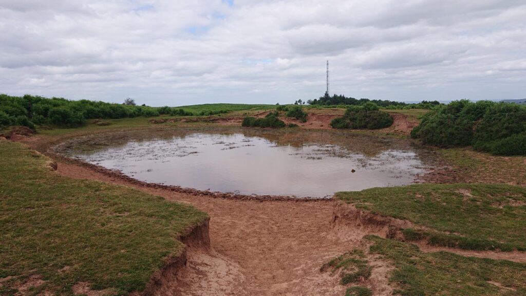
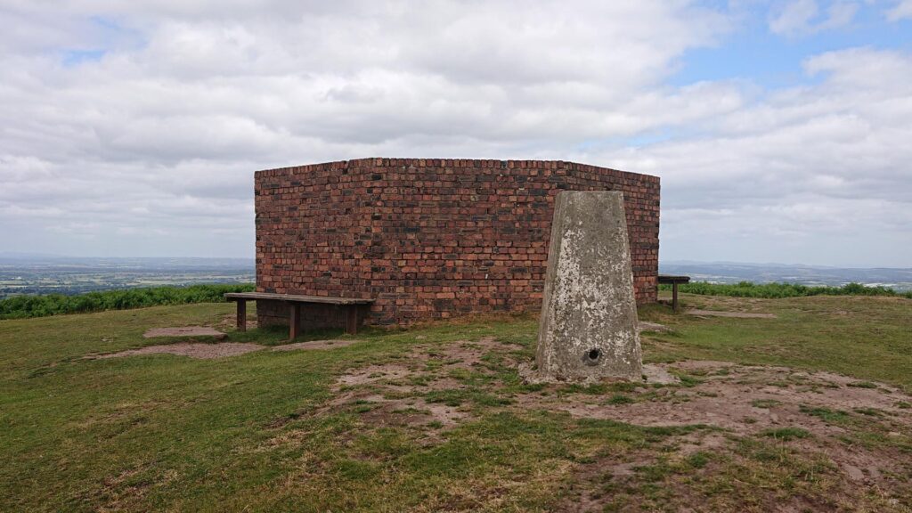
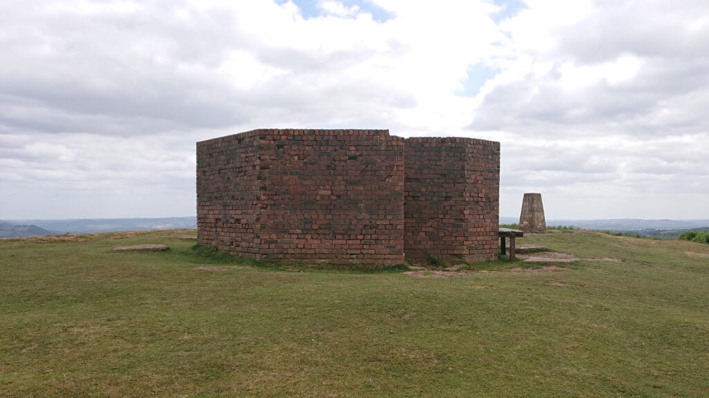
So, I walked it. Pressure was off! There’s a gate at the top – I went through and headed right. It’s a easy one to navigate – you’ve just got to head for the high point (obviously!). You can see the remains of the Second World War Radio Tracking Station (erected in 1942) at the top – just head for that.
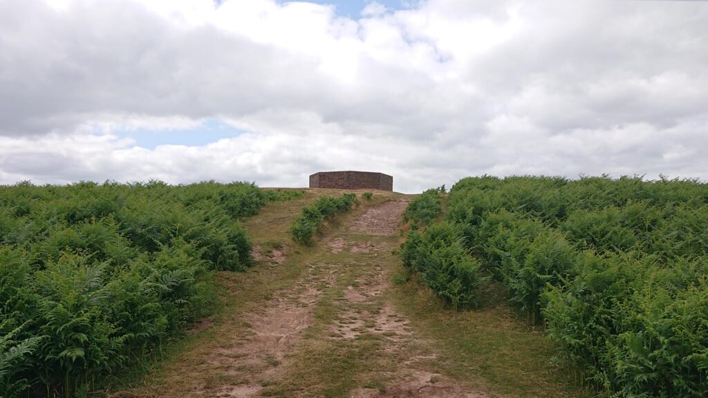
The Garway Hill trig point is right next to it.

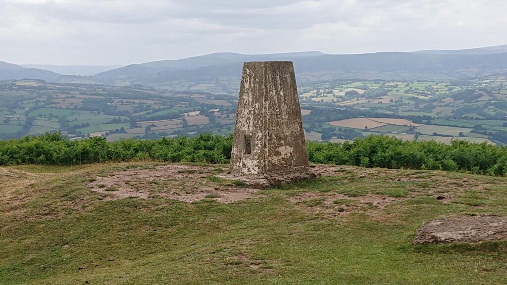
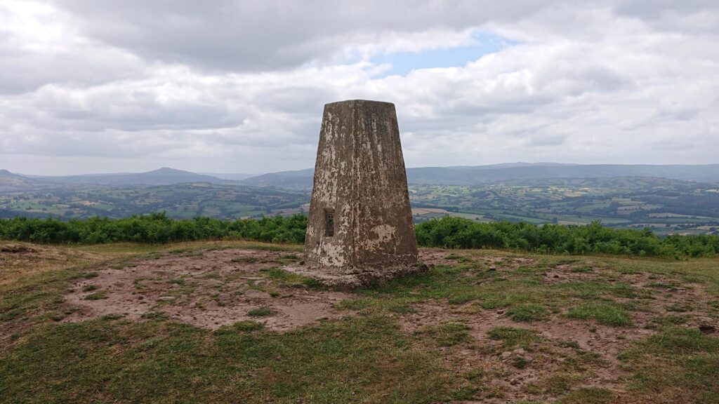
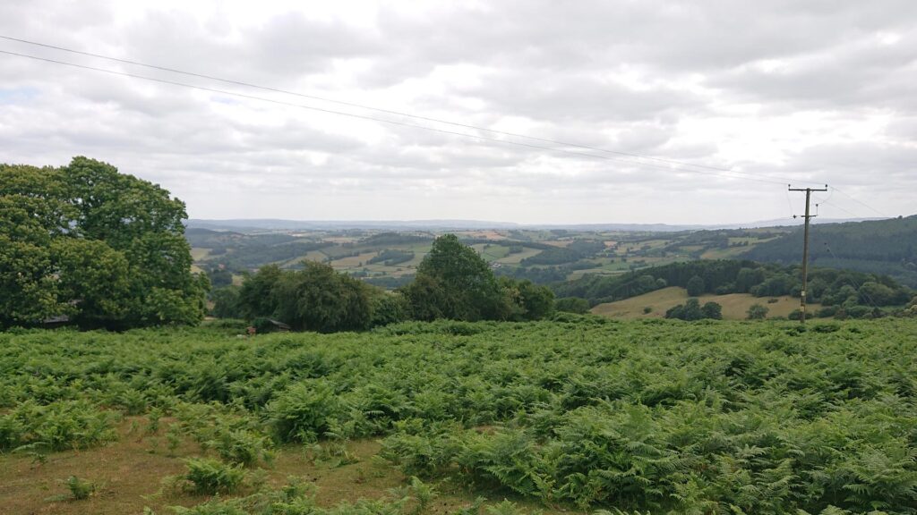
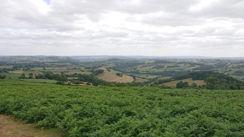
Views are amazing and there are loads of routes around and along the hill. Therefore, I’d certainly go there more often if it wasn’t for the narrow lanes! Great for an afternoon out or a scenic dog walk!
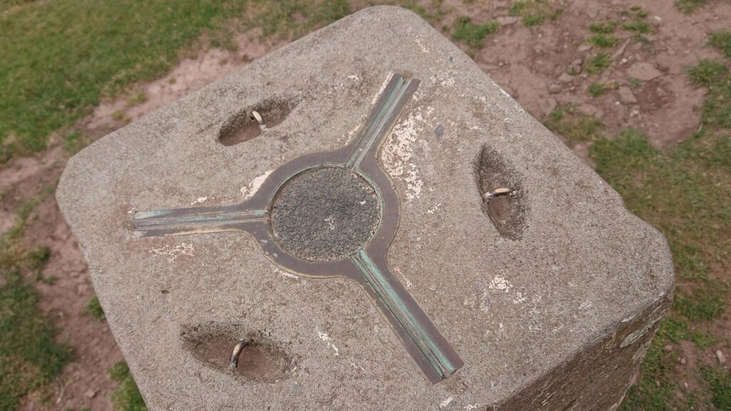
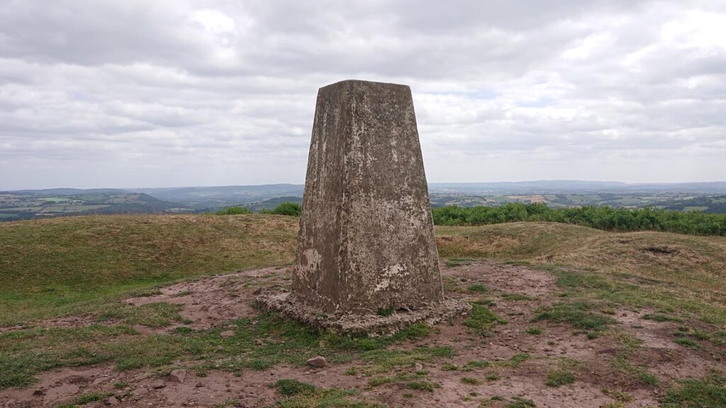
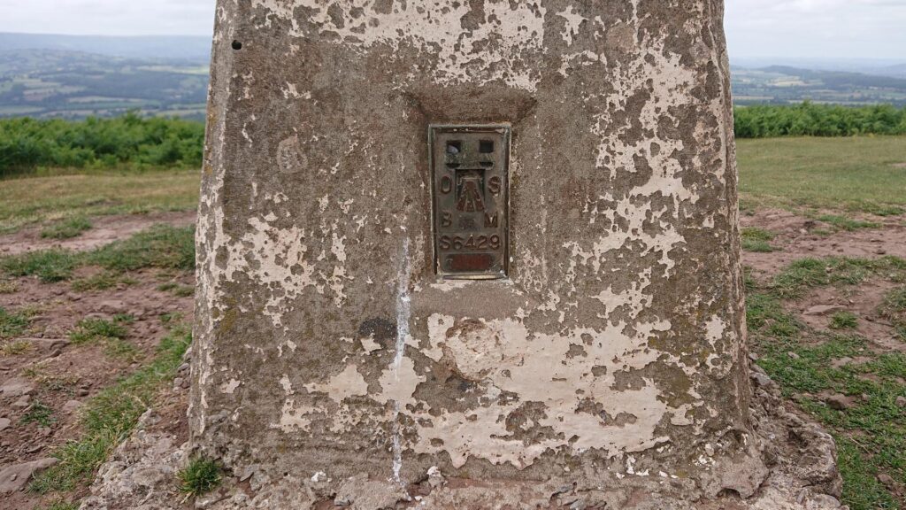
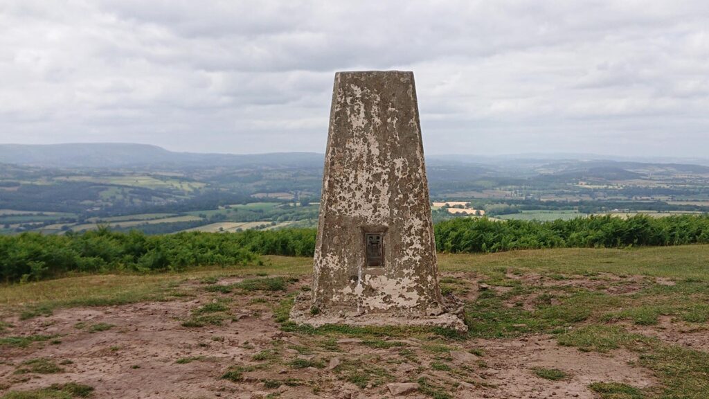
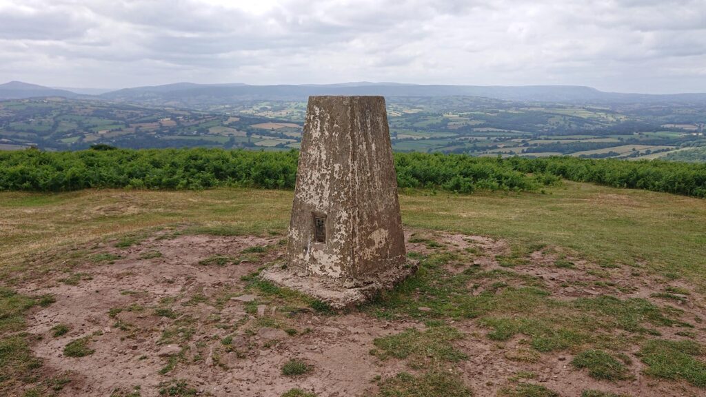
Above all, the Garway hill trig point is up there with the best of them (however only if we’re not including the car journey!). Check out my other Herefordshire trig bags here. Also, follow me on Instagram too if you like, I’m not shy – I’ll follow you back!
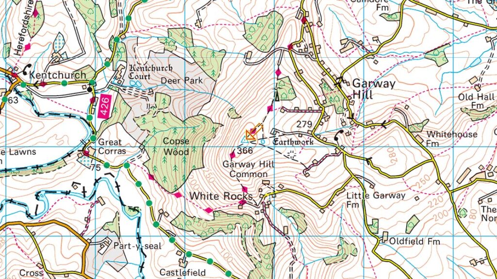
Grid reference: SO 43679 25074 | T:UK waypoint: TP3331 | Taken from www.streetmap.co.uk


