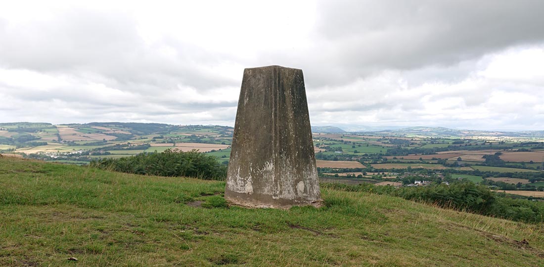
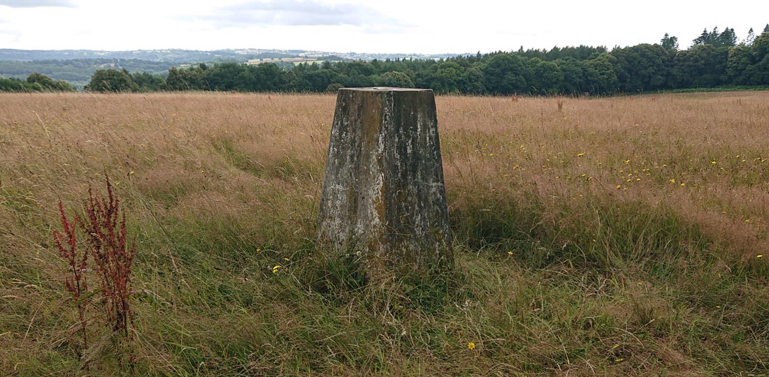
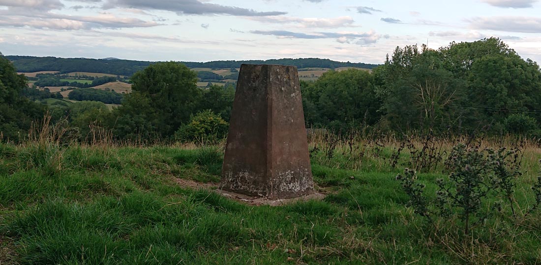
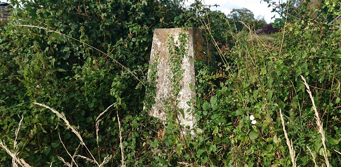
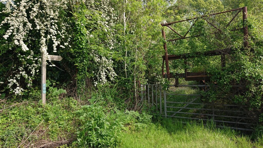
For the White Hill Reservoir trig point bag, I parked on the side of the Worcester road (A4103). There’s a handy (but small) layby which can fit a couple of cars in. I created a route on Plotaroute to follow, about three quarters of a mile to the trig pillar. There’s a sign for a footpath which I followed through some overgrown stingers next to an abandoned old trailer.
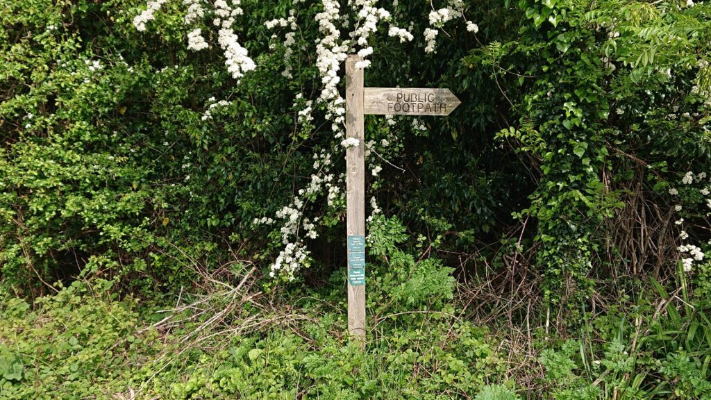
There’s another metal stile to go through before joining the ‘footpath’.
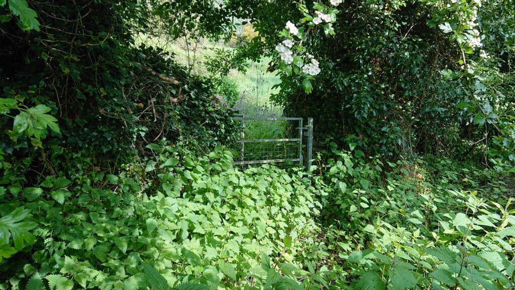
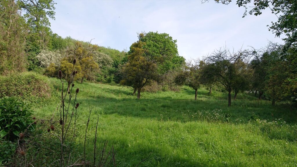
If you’re bagging this one – don’t bother going that way – just go over the big metal gate!
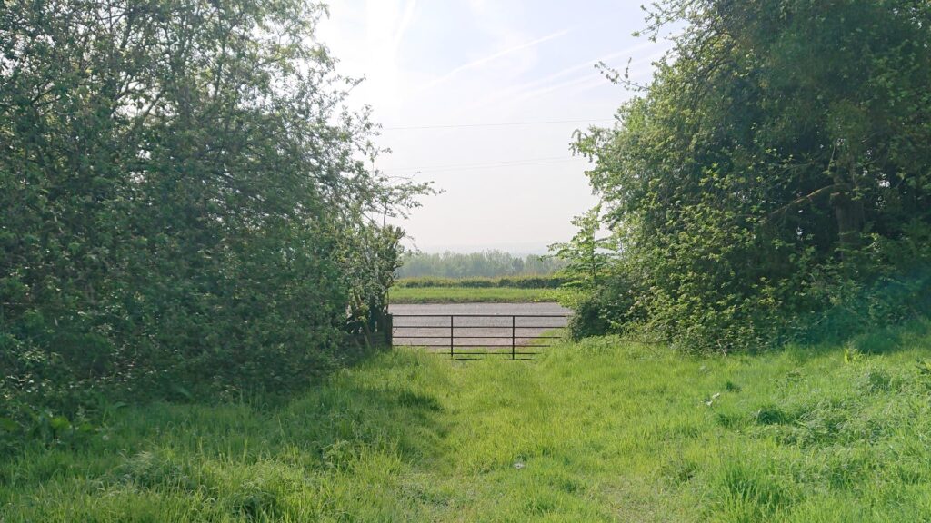
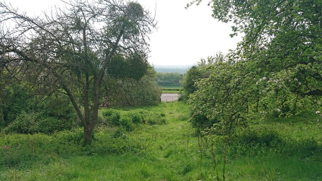
I put too much trust in tech when I could have just beelined it! Same goes for the excursion through the woods and back out into the next field. On the way back, there’s a fence, about knee high, that you can just step over! You live and learn!
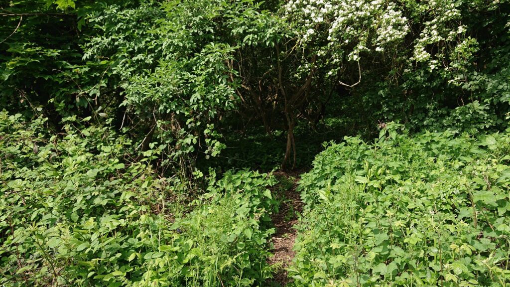
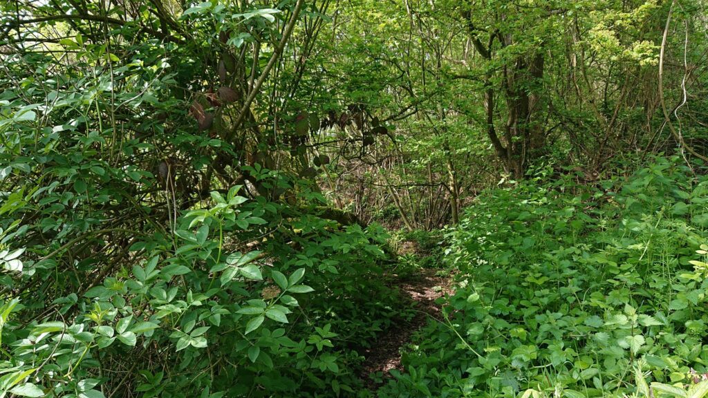
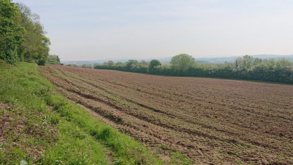
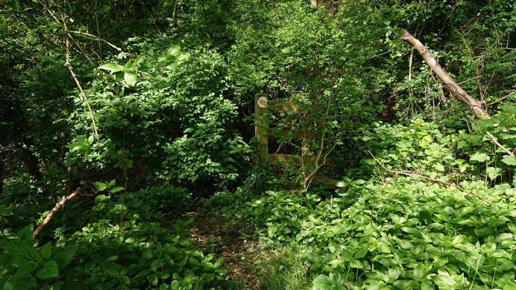
After that, I followed a ploughed field, hopped through some more woods then onto a single-track lane that went up, up and up!
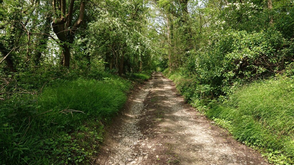
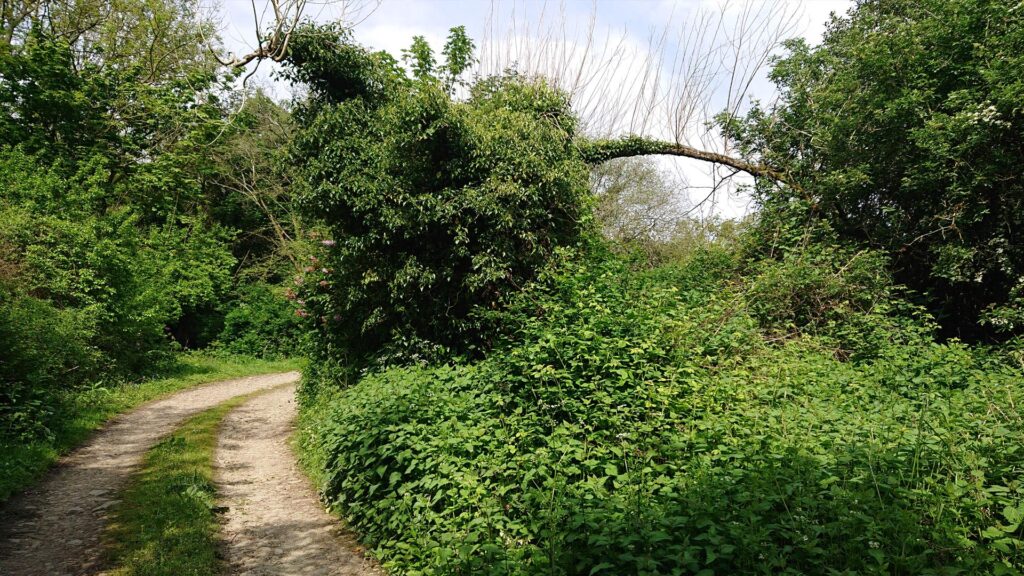
Calf burner! At the top, it forks into two different directions… However they both converge but the right way is slightly quicker.
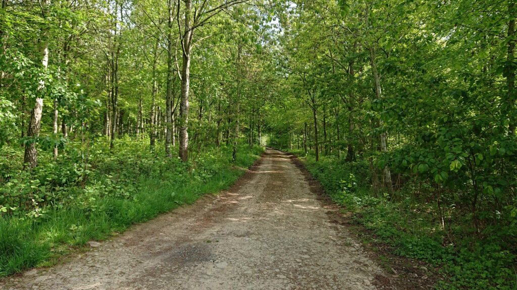
Follow the track a bit further through some more woods until you come to a clearing.
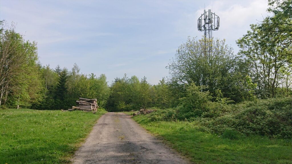
There’s some logs and a mast.
You can’t see the White Hill Reservoir trig point from the track, you have to go around and it’s hidden round the back.
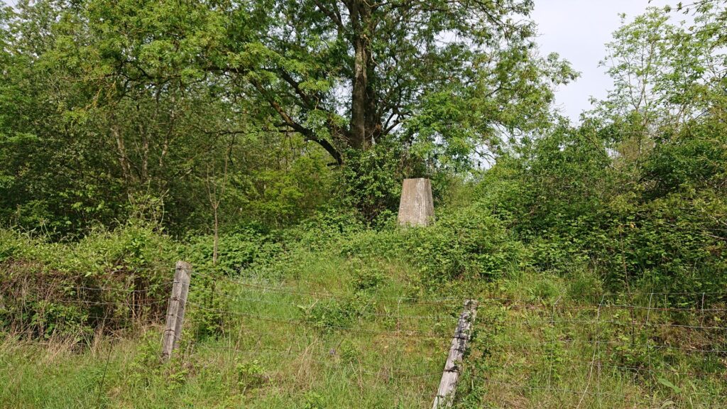
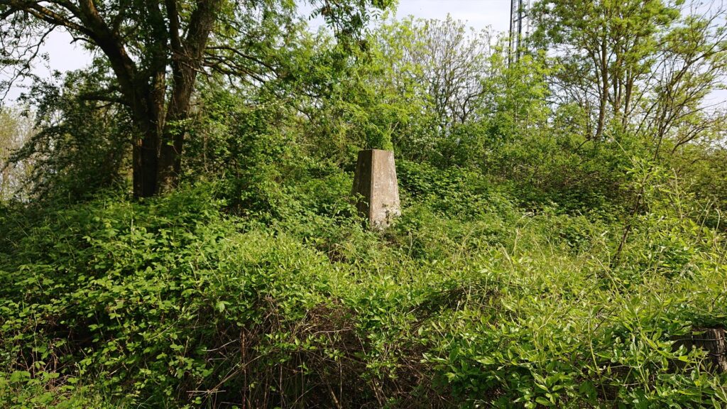
It’s also fenced off but the fence is broken so you can still access the trig pillar.
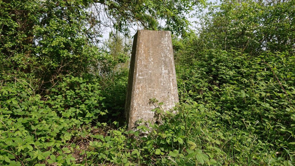
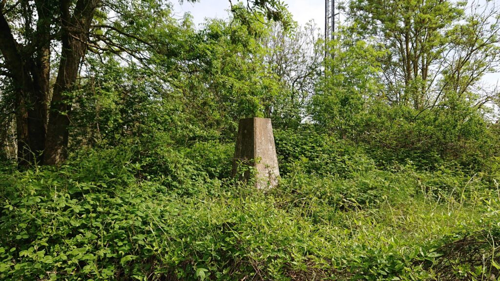
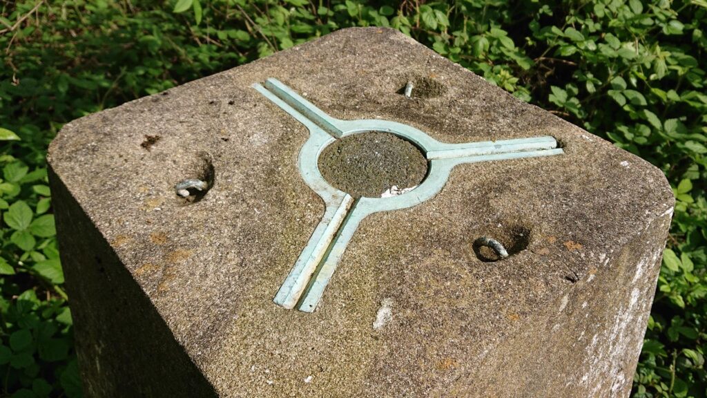
Another one in the bag! However, why is it called White Hill Reservoir? It’s high up and there’s no water around?! Anyway, back the way I came… With the aforementioned shortcuts to get back to the car. Getting through them now!
Don’t forget to follow me on Instagram and please check out my other trig bags here.
Thanks for reading!
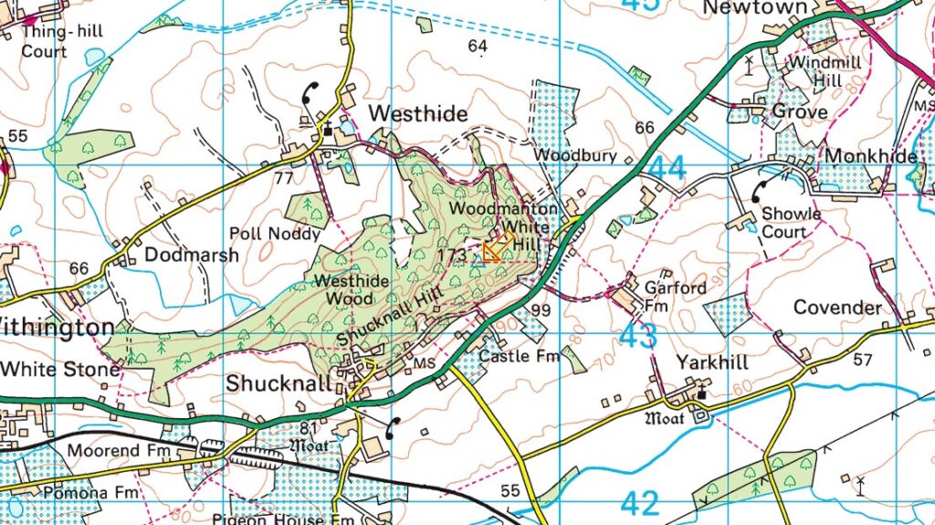
Grid reference: SO 72372 41819 | T:UK waypoint: TP5273 | Taken from www.streetmap.co.uk


